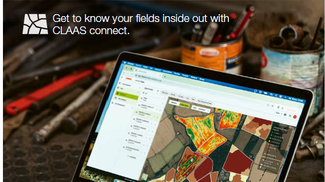
Clearly presented geodata in CLAAS connect
- Manage geodata (e.g. yield maps, soil sample analyses) in a structured way, all in one place
- Create application maps from satellite images, yield maps or other maps
- Merge yield data in different formats to create one combined map


 View
all news and offers
